Route 66 can trace its history back to the late 1920s, when it was first proposed and designed. However, it was not until 1938 that the highway was fully paved from its eastern beginning in Chicago, Illinois to its western terminus in Santa Monica, CA some 2,450 miles later. Of course, the route can be traveled either east or west, although most Route 66 travelers prefer to go from east to west, just as the Joad family did in John Steinbeck’s famous literary work, The grapes of wrath.
Unfortunately, Route 66 began to be replaced in the 1960s by new interstate highways that bypassed many small towns along the way and were removed from the interstate highway system entirely in 1985. However, in part for many organizations of Route 66, small town chambers of commerce, many enthusiasts and historians refused to let it die. In the last 25 years there has been a new resurgence of heritage tourism that has rekindled interest in preserving this great piece of American history and nostalgia that is Route 66.
Often referred to as “The Mother Road,” “America’s Main Street,” or “Will Rogers Highway,” the route passes through eight different states: Illinois, Missouri, Kansas, Oklahoma, Texas, New Mexico, Arizona, and California. Let’s take a look at the state of Arizona in more detail.
Arizona
To the west, Arizona is the seventh of the 8 states on Route 66 and is 401 miles from border to border. It boasts some of the most beautiful scenery, some of the most unique must-see establishments, the highest elevation, and the longest uninterrupted stretch of Route 66 on the entire journey.
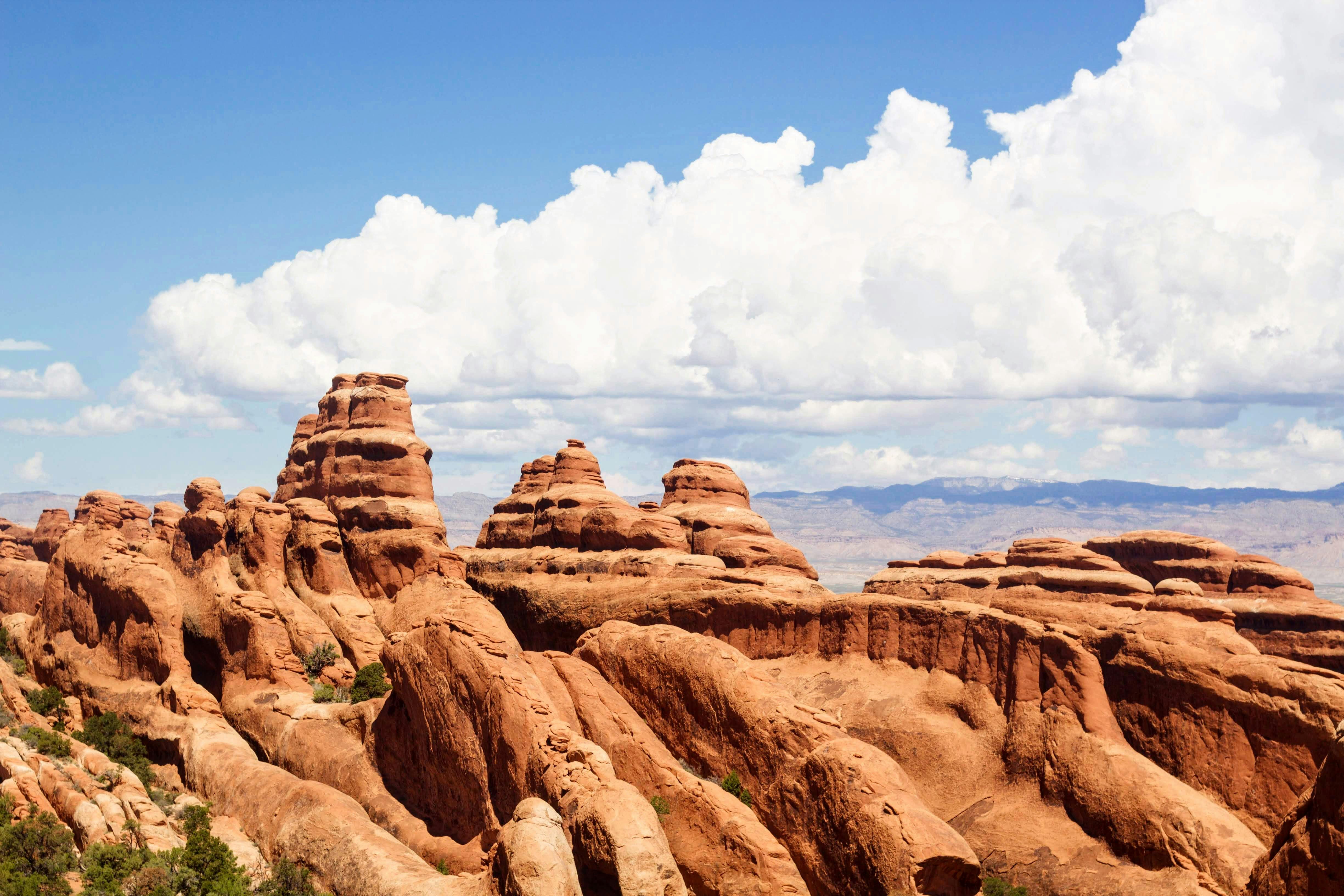
Geographically, Arizona is home to the Meteor Crater, the Petrified Forest, and the Painted Desert. These places provide incredible photo opportunities, but also an opportunity to explore and walk through these natural attractions.
About 75 miles into Arizona, beyond the Petrified Forest and the Painted Desert, is the town of Holbrook. Home to the Wigwam Village Motel, most Route 66 travelers expect to sleep in a tipi and many cite this landmark as a highlight of their trip. Further west is Joseph City, a Mormon settlement established in the late 1870s. Located in Joseph City is the famous Jackrabbit Trading Post. One of the most well-known sites of the Route 66 signature is the famous “HERE IT IS” sign located at the Jackrabbit Trading Post.
Farther west, past the meteor crater and the towns of “standing on the corner” Winslow, the defunct Two Guns, the abandoned Twin Arrows, and the “don’t forget” Winona, is the town of Flagstaff. Flagstaff is home to the famous Lowell Observatory and is also the gateway to the Grand Canyon, located an hour’s drive north. The canyon is well worth a side trip down Route 66 to see one of the eight natural wonders of the world. If you prefer, you can also access the spectacular Grand Canyon via the Grand Canyon Railway from Williams, just 30 miles west of Flagstaff. Between Flagstaff and Williams is Brannigan Peak. At 7,320 feet above sea level, it is the highest point of elevation along the entire route of Route 66.
15 miles west of Williams is Ash Fork, the flagstone capital of the world. Just past Ash Fork, you can say goodbye to I-40 as you begin the longest uninterrupted stretch of Route 66 on the entire trip. Be sure to stop at the legendary Snow Cap Drive-in in Seligman and the fascinating General Store in Hackberry before reaching Kingman. Here you’ll find many still-preserved commercial establishments that cater to the Route 66 traveler, including a very well-done museum.
Be sure to leave Kingman while it’s still daylight because you won’t miss out on the incredible scenery ahead as you travel through the twists and turns of Black Mountain. Oatman awaits, as do the many wild burros that call the former mining town home. Be sure to visit the historic Oatman hotel where Clark Gable and Carole Lombard spent their honeymoon.
Leaving Oatman, you can take a quick side trip to the casinos in Laughlin Nevada and try your luck, or you can continue through Golden Shores, Topock, and back onto I-40 to cross the mighty Colorado River into California.


Recent Comments